
马路湾街道 topographic map
Interactive map
Click on the map to display elevation.
About this map
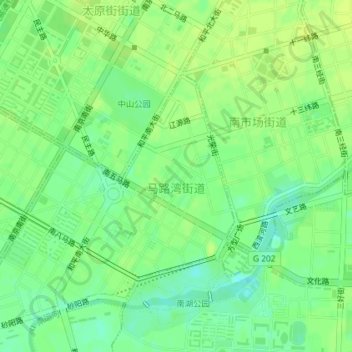
Name: 马路湾街道 topographic map, elevation, terrain.
Location: 马路湾街道, 和平区, 沈阳市, 辽宁省, 中国 (41.76948 123.39504 41.78516 123.41242)
Average elevation: 48 m
Minimum elevation: 39 m
Maximum elevation: 53 m