
南运河 topographic map
Interactive map
Click on the map to display elevation.
About this map
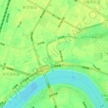
Name: 南运河 topographic map, elevation, terrain.
Location: 南运河, 集贤街道, 和平区, 沈阳市, 辽宁省, 110819, 中国 (41.75896 123.38963 41.76778 123.40223)
Average elevation: 45 m
Minimum elevation: 33 m
Maximum elevation: 52 m