
铁西区 topographic map
Interactive map
Click on the map to display elevation.
About this map
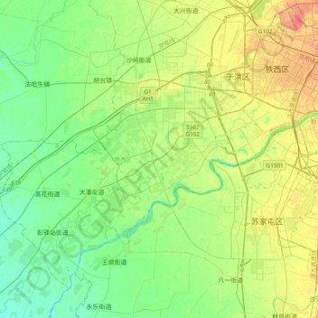
Name: 铁西区 topographic map, elevation, terrain.
Location: 铁西区, 沈阳市, 辽宁省, 中国 (41.60051 123.01575 41.83447 123.39677)
Average elevation: 34 m
Minimum elevation: 20 m
Maximum elevation: 58 m
Other topographic maps
Click on a map to view its topography, its elevation and its terrain.