
延平区 topographic map
Interactive map
Click on the map to display elevation.
About this map
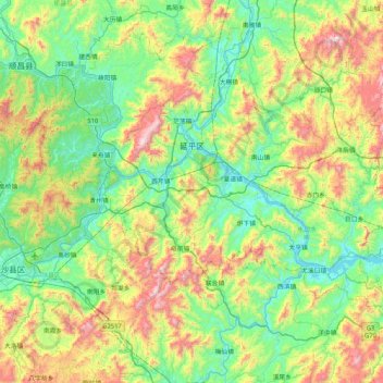
Name: 延平区 topographic map, elevation, terrain.
Location: 延平区, 南平市, 福建省, 353000, 中国 (26.24660 117.84272 26.86961 118.66838)
Average elevation: 441 m
Minimum elevation: 52 m
Maximum elevation: 1,603 m
Other topographic maps
Click on a map to view its topography, its elevation and its terrain.