
闽江 topographic map
Interactive map
Click on the map to display elevation.
About this map
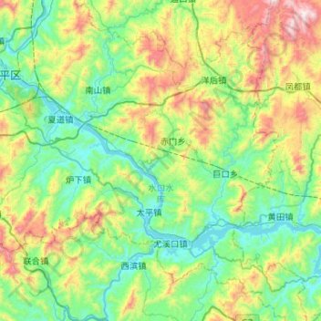
Name: 闽江 topographic map, elevation, terrain.
Location: 闽江, 南平市, 延平区, 南平市, 福建省, 中国 (26.39582 118.17920 26.63811 118.69313)
Average elevation: 412 m
Minimum elevation: 52 m
Maximum elevation: 1,429 m
Other topographic maps
Click on a map to view its topography, its elevation and its terrain.