
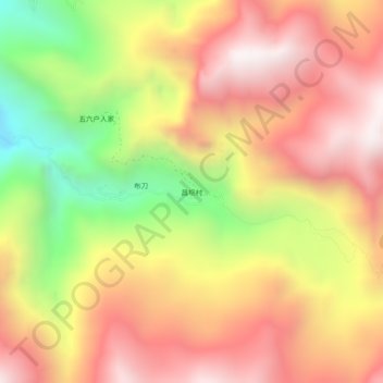
昌坝 topographic map
Interactive map
Click on the map to display elevation.
About this map
Name: 昌坝 topographic map, elevation, terrain.
Location: 昌坝, 康定市, 甘孜藏族自治州, 四川省, 626000, 中国 (30.26439 102.32367 30.30439 102.36367)
Average elevation: 3,230 m
Minimum elevation: 2,460 m
Maximum elevation: 3,796 m
Other topographic maps
Click on a map to view its topography, its elevation and its terrain.