
雅拉雪山 topographic map
Interactive map
Click on the map to display elevation.
About this map
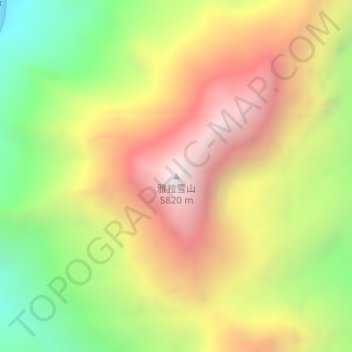
Name: 雅拉雪山 topographic map, elevation, terrain.
Location: 雅拉雪山, 康定市, 甘孜藏族自治州, 四川省, 中国 (30.38041 101.69971 30.38051 101.69981)
Average elevation: 5,003 m
Minimum elevation: 4,175 m
Maximum elevation: 5,809 m
Other topographic maps
Click on a map to view its topography, its elevation and its terrain.