
金汤镇 topographic map
Interactive map
Click on the map to display elevation.
About this map
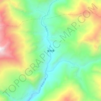
Name: 金汤镇 topographic map, elevation, terrain.
Location: 金汤镇, 康定市, 甘孜藏族自治州, 四川省, 中国 (30.34642 102.23930 30.42642 102.31930)
Average elevation: 2,824 m
Minimum elevation: 1,895 m
Maximum elevation: 4,543 m
Other topographic maps
Click on a map to view its topography, its elevation and its terrain.