
塔公草原 topographic map
Interactive map
Click on the map to display elevation.
About this map
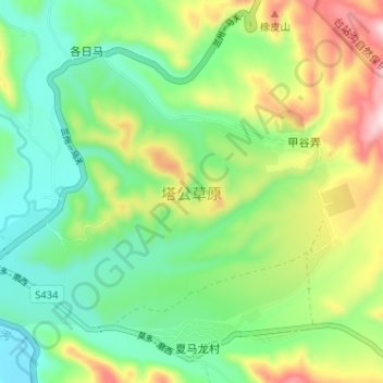
Name: 塔公草原 topographic map, elevation, terrain.
Location: 塔公草原, 各日马, 康定市, 甘孜藏族自治州, 四川省, 中国 (30.31718 101.51980 30.35701 101.58416)
Average elevation: 3,833 m
Minimum elevation: 3,714 m
Maximum elevation: 4,056 m