
孔玉乡 topographic map
Interactive map
Click on the map to display elevation.
About this map
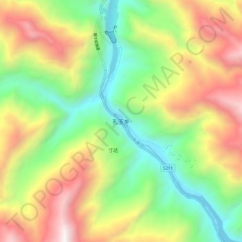
Name: 孔玉乡 topographic map, elevation, terrain.
Location: 孔玉乡, 康定市, 甘孜藏族自治州, 四川省, 中国 (30.48500 102.02037 30.56500 102.10037)
Average elevation: 2,620 m
Minimum elevation: 1,666 m
Maximum elevation: 3,933 m
Other topographic maps
Click on a map to view its topography, its elevation and its terrain.