
衡东县 topographic map
Interactive map
Click on the map to display elevation.
About this map
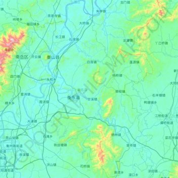
Name: 衡东县 topographic map, elevation, terrain.
Location: 衡东县, 衡阳市, 湖南省, 中国 (26.78359 112.73743 27.44318 113.27759)
Average elevation: 143 m
Minimum elevation: 29 m
Maximum elevation: 1,263 m
Other topographic maps
Click on a map to view its topography, its elevation and its terrain.