
关市镇 topographic map
Interactive map
Click on the map to display elevation.
About this map
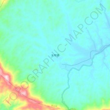
Name: 关市镇 topographic map, elevation, terrain.
Location: 关市镇, 衡阳市, 湖南省, 中国 (26.88290 112.01500 26.96290 112.09500)
Average elevation: 239 m
Minimum elevation: 138 m
Maximum elevation: 738 m
Other topographic maps
Click on a map to view its topography, its elevation and its terrain.