
茶山坳镇 topographic map
Interactive map
Click on the map to display elevation.
About this map
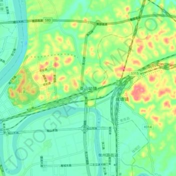
Name: 茶山坳镇 topographic map, elevation, terrain.
Location: 茶山坳镇, 衡阳市, 湖南省, 中国 (26.89465 112.65094 26.97465 112.73094)
Average elevation: 72 m
Minimum elevation: 43 m
Maximum elevation: 132 m
Other topographic maps
Click on a map to view its topography, its elevation and its terrain.