
衡阳县 topographic map
Interactive map
Click on the map to display elevation.
About this map
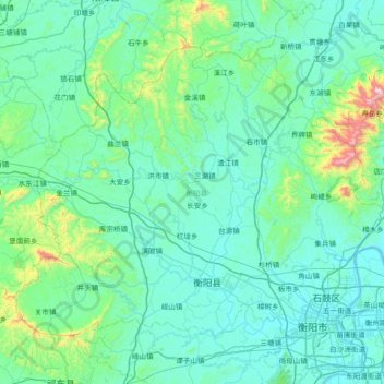
Name: 衡阳县 topographic map, elevation, terrain.
Location: 衡阳县, 衡阳市, 湖南省, 中国 (26.87612 111.99602 27.37296 112.73020)
Average elevation: 179 m
Minimum elevation: 45 m
Maximum elevation: 1,263 m
Other topographic maps
Click on a map to view its topography, its elevation and its terrain.