
珠晖区 topographic map
Interactive map
Click on the map to display elevation.
About this map
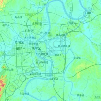
Name: 珠晖区 topographic map, elevation, terrain.
Location: 珠晖区, 衡阳市, 湖南省, 中国 (26.75106 112.57939 27.03121 112.73320)
Average elevation: 77 m
Minimum elevation: 43 m
Maximum elevation: 370 m
Other topographic maps
Click on a map to view its topography, its elevation and its terrain.