
营盘山 topographic map
Interactive map
Click on the map to display elevation.
About this map
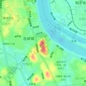
Name: 营盘山 topographic map, elevation, terrain.
Location: 营盘山, 衡阳市, 湖南省, 中国 (26.87292 112.61511 26.87302 112.61521)
Average elevation: 69 m
Minimum elevation: 48 m
Maximum elevation: 116 m
Other topographic maps
Click on a map to view its topography, its elevation and its terrain.