
德柯 topographic map
Interactive map
Click on the map to display elevation.
About this map
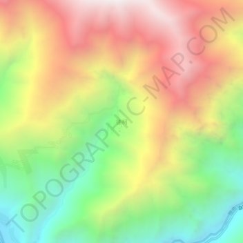
Name: 德柯 topographic map, elevation, terrain.
Location: 德柯, 白玉县, 甘孜藏族自治州, 四川省, 中国 (31.38132 98.97977 31.42132 99.01977)
Average elevation: 3,820 m
Minimum elevation: 3,017 m
Maximum elevation: 4,661 m
Other topographic maps
Click on a map to view its topography, its elevation and its terrain.