
金沙乡 topographic map
Interactive map
Click on the map to display elevation.
About this map
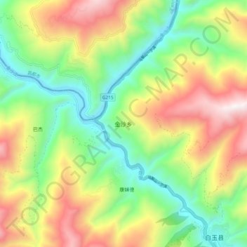
Name: 金沙乡 topographic map, elevation, terrain.
Location: 金沙乡, 白玉县, 甘孜藏族自治州, 四川省, 中国 (31.20962 98.74797 31.28962 98.82797)
Average elevation: 3,492 m
Minimum elevation: 2,929 m
Maximum elevation: 4,311 m
Other topographic maps
Click on a map to view its topography, its elevation and its terrain.