
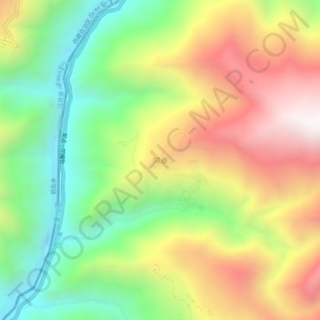
阿卓 topographic map
Interactive map
Click on the map to display elevation.
About this map
Name: 阿卓 topographic map, elevation, terrain.
Location: 阿卓, 金沙乡, 白玉县, 甘孜藏族自治州, 四川省, 627100, 中国 (31.27668 98.80343 31.31668 98.84343)
Average elevation: 3,475 m
Minimum elevation: 2,921 m
Maximum elevation: 4,144 m