
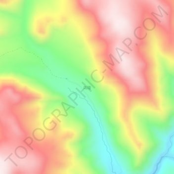
乌隆 topographic map
Interactive map
Click on the map to display elevation.
About this map
Name: 乌隆 topographic map, elevation, terrain.
Location: 乌隆, 白玉县, 甘孜藏族自治州, 四川省, 中国 (31.15834 99.35741 31.19834 99.39741)
Average elevation: 4,299 m
Minimum elevation: 3,966 m
Maximum elevation: 4,582 m
Other topographic maps
Click on a map to view its topography, its elevation and its terrain.