
脚木足乡 topographic map
Interactive map
Click on the map to display elevation.
About this map
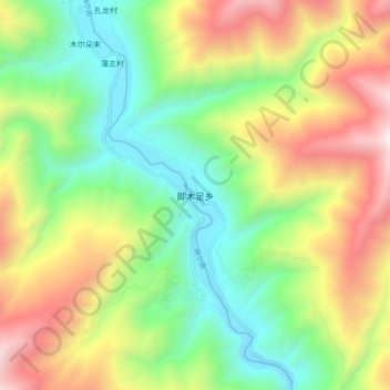
Name: 脚木足乡 topographic map, elevation, terrain.
Location: 脚木足乡, 马尔康市, 阿坝藏族羌族自治州, 四川省, 中国 (31.95259 101.99249 32.03259 102.07249)
Average elevation: 3,132 m
Minimum elevation: 2,419 m
Maximum elevation: 4,221 m
Other topographic maps
Click on a map to view its topography, its elevation and its terrain.