
卓克基镇 topographic map
Interactive map
Click on the map to display elevation.
About this map
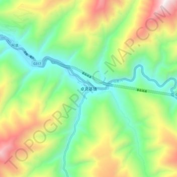
Name: 卓克基镇 topographic map, elevation, terrain.
Location: 卓克基镇, 马尔康市, 阿坝藏族羌族自治州, 四川省, 中国 (31.82887 102.25074 31.90887 102.33074)
Average elevation: 3,267 m
Minimum elevation: 2,625 m
Maximum elevation: 4,377 m
Other topographic maps
Click on a map to view its topography, its elevation and its terrain.