
下寨 topographic map
Interactive map
Click on the map to display elevation.
About this map
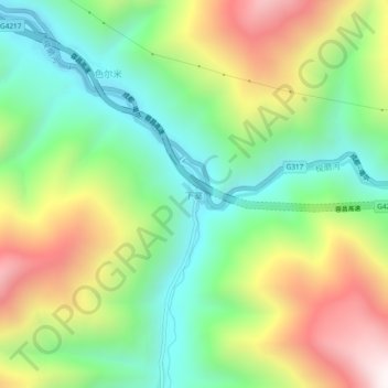
Name: 下寨 topographic map, elevation, terrain.
Location: 下寨, 马尔康市, 阿坝藏族羌族自治州, 四川省, 中国 (31.81387 102.52144 31.85387 102.56144)
Average elevation: 3,374 m
Minimum elevation: 2,923 m
Maximum elevation: 4,081 m