
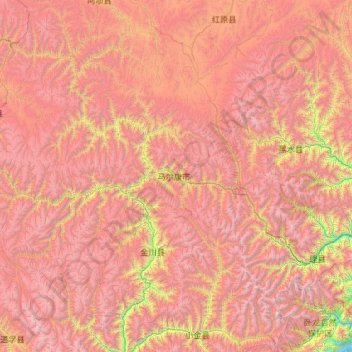
阿坝州 topographic map
Interactive map
Click on the map to display elevation.
About this map
Name: 阿坝州 topographic map, elevation, terrain.
Location: 阿坝州, 马尔康镇, 马尔康市, 阿坝藏族羌族自治州, 四川省, 中国 (30.90157 101.22292 32.90157 103.22292)
Average elevation: 3,802 m
Minimum elevation: 1,666 m
Maximum elevation: 5,941 m
20世紀30年代,中國工農紅軍長征最艱苦、最危險的行軍在本地區,翻越了8座海拔4000米以上的雪山,走過了人跡罕至的水草地,這段歷史被稱為過「雪山草地」,並於1935年10月建立了少數民族的格勒得沙共和国革命政府。