
白湾乡 topographic map
Interactive map
Click on the map to display elevation.
About this map
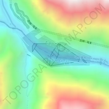
Name: 白湾乡 topographic map, elevation, terrain.
Location: 白湾乡, 马尔康市, 阿坝藏族羌族自治州, 四川省, 中国, 双江口水电站 (31.79041 101.91651 31.79588 101.93006)
Average elevation: 2,720 m
Minimum elevation: 2,253 m
Maximum elevation: 3,518 m
Other topographic maps
Click on a map to view its topography, its elevation and its terrain.