
崔村 topographic map
Interactive map
Click on the map to display elevation.
About this map
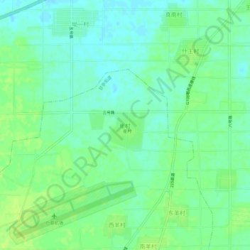
Name: 崔村 topographic map, elevation, terrain.
Location: 崔村, 西安市, 陕西省, 中国 (34.14706 108.58953 34.18706 108.62953)
Average elevation: 406 m
Minimum elevation: 399 m
Maximum elevation: 413 m
Other topographic maps
Click on a map to view its topography, its elevation and its terrain.