
余下镇 topographic map
Interactive map
Click on the map to display elevation.
About this map
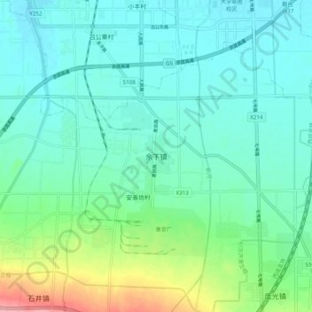
Name: 余下镇 topographic map, elevation, terrain.
Location: 余下镇, 西安市, 陕西省, 710300, 中国 (34.02467 108.58506 34.10467 108.66506)
Average elevation: 438 m
Minimum elevation: 409 m
Maximum elevation: 543 m
Other topographic maps
Click on a map to view its topography, its elevation and its terrain.