
焦家峪村 topographic map
Interactive map
Click on the map to display elevation.
About this map
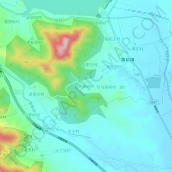
Name: 焦家峪村 topographic map, elevation, terrain.
Location: 焦家峪村, 泰安市, 山东省, 271000, 中国 (36.26291 117.21396 36.30291 117.25396)
Average elevation: 222 m
Minimum elevation: 163 m
Maximum elevation: 468 m
Other topographic maps
Click on a map to view its topography, its elevation and its terrain.