
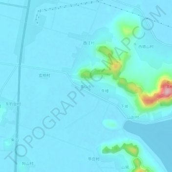
黄山头 topographic map
Interactive map
Click on the map to display elevation.
About this map
Name: 黄山头 topographic map, elevation, terrain.
Location: 黄山头, 泰安市, 山东省, 271000, 中国 (36.01758 116.12071 36.05758 116.16071)
Average elevation: 56 m
Minimum elevation: 38 m
Maximum elevation: 258 m