
朝阳庄 topographic map
Interactive map
Click on the map to display elevation.
About this map
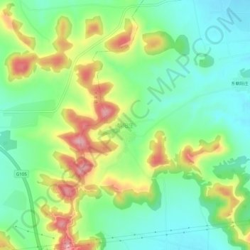
Name: 朝阳庄 topographic map, elevation, terrain.
Location: 朝阳庄, 泰安市, 山东省, 271000, 中国 (35.97360 116.48966 36.01360 116.52966)
Average elevation: 134 m
Minimum elevation: 72 m
Maximum elevation: 240 m
Other topographic maps
Click on a map to view its topography, its elevation and its terrain.