
郭庄 topographic map
Interactive map
Click on the map to display elevation.
About this map
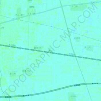
Name: 郭庄 topographic map, elevation, terrain.
Location: 郭庄, 泰安市, 山东省, 271000, 中国 (35.84221 116.23264 35.88221 116.27264)
Average elevation: 40 m
Minimum elevation: 37 m
Maximum elevation: 43 m
Other topographic maps
Click on a map to view its topography, its elevation and its terrain.