
水泉子村 topographic map
Interactive map
Click on the map to display elevation.
About this map
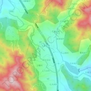
Name: 水泉子村 topographic map, elevation, terrain.
Location: 水泉子村, 泰安市, 山东省, 271000, 中国 (36.34864 117.17139 36.38864 117.21139)
Average elevation: 487 m
Minimum elevation: 279 m
Maximum elevation: 844 m
Other topographic maps
Click on a map to view its topography, its elevation and its terrain.