
靖远县 topographic map
Interactive map
Click on the map to display elevation.
About this map
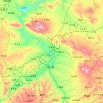
Name: 靖远县 topographic map, elevation, terrain.
Location: 靖远县, 白银市, 甘肃省, 中国 (36.17337 104.25880 37.27705 105.33710)
Average elevation: 1,809 m
Minimum elevation: 1,284 m
Maximum elevation: 3,007 m
Other topographic maps
Click on a map to view its topography, its elevation and its terrain.