
徽县 topographic map
Interactive map
Click on the map to display elevation.
About this map
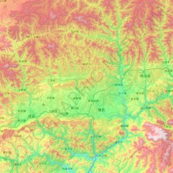
Name: 徽县 topographic map, elevation, terrain.
Location: 徽县, 陇南市, 甘肃省, 742300, 中国 (33.54811 105.57405 34.17748 106.44879)
Average elevation: 1,387 m
Minimum elevation: 692 m
Maximum elevation: 2,483 m
Other topographic maps
Click on a map to view its topography, its elevation and its terrain.