
安靖街道 topographic map
Interactive map
Click on the map to display elevation.
About this map
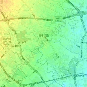
Name: 安靖街道 topographic map, elevation, terrain.
Location: 安靖街道, 郫都区, 成都市, 四川省, 中国 (30.73273 103.97799 30.79654 104.04733)
Average elevation: 518 m
Minimum elevation: 507 m
Maximum elevation: 532 m
Other topographic maps
Click on a map to view its topography, its elevation and its terrain.