
唐昌镇 topographic map
Interactive map
Click on the map to display elevation.
About this map
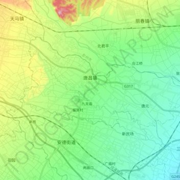
Name: 唐昌镇 topographic map, elevation, terrain.
Location: 唐昌镇, 郫都区, 成都市, 四川省, 中国 (30.87483 103.74378 30.96203 103.91559)
Average elevation: 608 m
Minimum elevation: 557 m
Maximum elevation: 729 m
Other topographic maps
Click on a map to view its topography, its elevation and its terrain.