
犀浦街道 topographic map
Interactive map
Click on the map to display elevation.
About this map
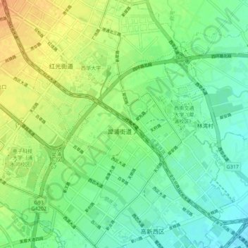
Name: 犀浦街道 topographic map, elevation, terrain.
Location: 犀浦街道, 郫都区, 成都市, 四川省, 中国 (30.72680 103.94131 30.79949 104.00177)
Average elevation: 529 m
Minimum elevation: 515 m
Maximum elevation: 550 m
Other topographic maps
Click on a map to view its topography, its elevation and its terrain.