
香草湖湿地公园 topographic map
Interactive map
Click on the map to display elevation.
About this map
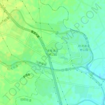
Name: 香草湖湿地公园 topographic map, elevation, terrain.
Location: 香草湖湿地公园, 三道堰镇, 郫都区, 成都市, 四川省, 中国 (30.84048 103.95104 30.84629 103.96178)
Average elevation: 545 m
Minimum elevation: 537 m
Maximum elevation: 553 m