
土地村四组 topographic map
Interactive map
Click on the map to display elevation.
About this map
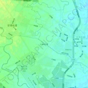
Name: 土地村四组 topographic map, elevation, terrain.
Location: 土地村四组, 安靖街道, 郫都区, 成都市, 四川省, 610036, 中国 (30.74218 104.01249 30.78218 104.05249)
Average elevation: 515 m
Minimum elevation: 508 m
Maximum elevation: 524 m