
竹庆镇 topographic map
Interactive map
Click on the map to display elevation.
About this map
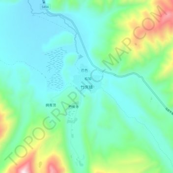
Name: 竹庆镇 topographic map, elevation, terrain.
Location: 竹庆镇, 德格县, 甘孜藏族自治州, 四川省, 中国 (32.09166 98.82648 32.17166 98.90648)
Average elevation: 4,050 m
Minimum elevation: 3,809 m
Maximum elevation: 4,830 m
Other topographic maps
Click on a map to view its topography, its elevation and its terrain.