
若达 topographic map
Interactive map
Click on the map to display elevation.
About this map
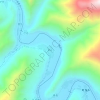
Name: 若达 topographic map, elevation, terrain.
Location: 若达, 德格县, 甘孜藏族自治州, 四川省, 中国 (32.16204 99.31650 32.20204 99.35650)
Average elevation: 3,817 m
Minimum elevation: 3,561 m
Maximum elevation: 4,644 m
Other topographic maps
Click on a map to view its topography, its elevation and its terrain.