
错阿镇 topographic map
Interactive map
Click on the map to display elevation.
About this map
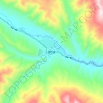
Name: 错阿镇 topographic map, elevation, terrain.
Location: 错阿镇, 德格县, 甘孜藏族自治州, 四川省, 中国 (31.77366 99.38014 31.85366 99.46014)
Average elevation: 4,052 m
Minimum elevation: 3,632 m
Maximum elevation: 4,885 m
Other topographic maps
Click on a map to view its topography, its elevation and its terrain.