
坝子乡 topographic map
Interactive map
Click on the map to display elevation.
About this map
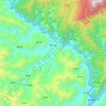
Name: 坝子乡 topographic map, elevation, terrain.
Location: 坝子乡, 平武县, 绵阳市, 四川省, 中国 (32.19332 104.62938 32.35720 104.79826)
Average elevation: 1,272 m
Minimum elevation: 683 m
Maximum elevation: 3,013 m
Other topographic maps
Click on a map to view its topography, its elevation and its terrain.