
南坝镇 topographic map
Interactive map
Click on the map to display elevation.
About this map
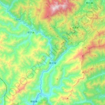
Name: 南坝镇 topographic map, elevation, terrain.
Location: 南坝镇, 平武县, 绵阳市, 四川省, 中国 (32.08678 104.71362 32.37618 104.93371)
Average elevation: 1,330 m
Minimum elevation: 646 m
Maximum elevation: 3,009 m
Other topographic maps
Click on a map to view its topography, its elevation and its terrain.