
龙山街道 topographic map
Interactive map
Click on the map to display elevation.
About this map
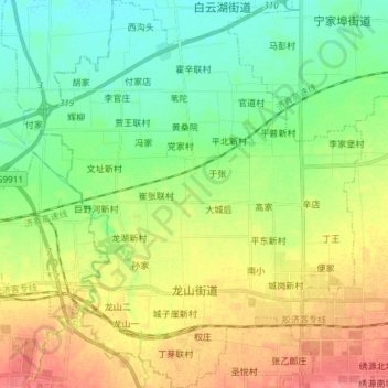
Name: 龙山街道 topographic map, elevation, terrain.
Location: 龙山街道, 章丘区, 济南市, 山东省, 中国 (36.70504 117.30787 36.82491 117.43844)
Average elevation: 45 m
Minimum elevation: 20 m
Maximum elevation: 82 m
Other topographic maps
Click on a map to view its topography, its elevation and its terrain.