
绣源 topographic map
Interactive map
Click on the map to display elevation.
About this map
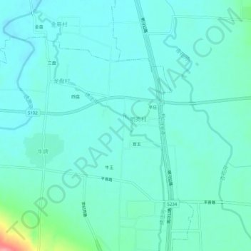
Name: 绣源 topographic map, elevation, terrain.
Location: 绣源, 章丘区, 济南市, 山东省, 中国 (36.75616 117.49744 36.79616 117.53744)
Average elevation: 46 m
Minimum elevation: 30 m
Maximum elevation: 125 m
Other topographic maps
Click on a map to view its topography, its elevation and its terrain.