
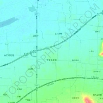
宁家埠街道 topographic map
Interactive map
Click on the map to display elevation.
About this map
Name: 宁家埠街道 topographic map, elevation, terrain.
Location: 宁家埠街道, 章丘区, 济南市, 山东省, 中国 (36.78138 117.38698 36.87087 117.46513)
Average elevation: 28 m
Minimum elevation: 17 m
Maximum elevation: 87 m
Other topographic maps
Click on a map to view its topography, its elevation and its terrain.