Geolocate

南芽 topographic map

Interactive map

Click on the map to display elevation.

About this map

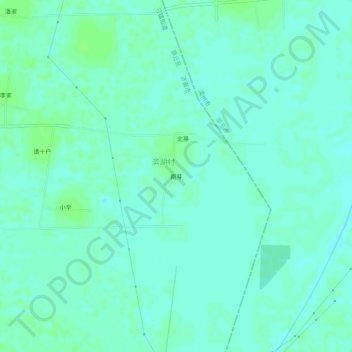
Name: 南芽 topographic map, elevation, terrain.

Location: 南芽, 章丘区, 济南市, 山东省, 中国 (36.87461 117.54675 36.91461 117.58675)

Average elevation: 19 m

Minimum elevation: 15 m

Maximum elevation: 23 m

Other topographic maps

Click on a map to view its topography, its elevation and its terrain.

梅家水库

中国 > 山东省 > 章丘区 > 宋上庄

梅家水库, 宋上庄, 圣井街道, 章丘区, 济南市, 山东省, 中国

Average elevation: 119 m

垛庄镇

中国 > 山东省 > 章丘区

垛庄镇, 章丘区, 济南市, 山东省, 中国

Average elevation: 424 m

宁家埠街道

中国 > 山东省 > 章丘区

宁家埠街道, 章丘区, 济南市, 山东省, 中国

Average elevation: 28 m

绣源

中国 > 山东省 > 章丘区

绣源, 章丘区, 济南市, 山东省, 中国

Average elevation: 46 m

绣源河

中国 > 山东省 > 章丘区

绣源河, 章丘区, 济南市, 山东省, 中国

Average elevation: 113 m

龙山街道

中国 > 山东省 > 章丘区

龙山街道, 章丘区, 济南市, 山东省, 中国

Average elevation: 45 m

高官寨街道

中国 > 山东省 > 章丘区 > 高官寨街道

高官寨街道, 济南新旧动能转换起步区, 章丘区, 济南市, 山东省, 中国

Average elevation: 21 m