
清溪镇 topographic map
Interactive map
Click on the map to display elevation.
About this map
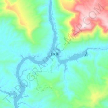
Name: 清溪镇 topographic map, elevation, terrain.
Location: 清溪镇, 宣汉县, 达州市, 四川省, 中国 (31.38828 107.75008 31.46828 107.83008)
Average elevation: 534 m
Minimum elevation: 317 m
Maximum elevation: 1,210 m
Other topographic maps
Click on a map to view its topography, its elevation and its terrain.