
南坝镇 topographic map
Interactive map
Click on the map to display elevation.
About this map
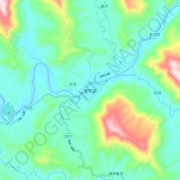
Name: 南坝镇 topographic map, elevation, terrain.
Location: 南坝镇, 宣汉县, 达州市, 四川省, 中国 (31.32464 107.96423 31.40464 108.04423)
Average elevation: 481 m
Minimum elevation: 332 m
Maximum elevation: 966 m
Other topographic maps
Click on a map to view its topography, its elevation and its terrain.